Wild Atlantic Way — The Signature
All Routes
CoastalAdvancedWest Coast● Real GPX Track

Wild Atlantic Way — The Signature

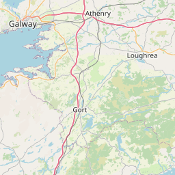
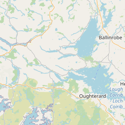
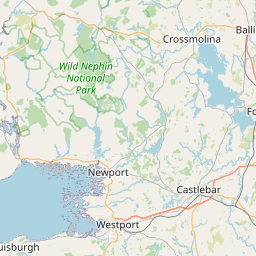
The full ribbon of Atlantic coastline from Kinsale to the Inishowen Peninsula — the longest defined coastal touring route on earth, mapped here from the real GPX track.

Distance
2126km
Ride Time
60hours
Difficulty
Advanced
Region
West Coast
GPX File
Road type: Mixed coastal, single-track, national secondary
The Route

On the map.

Leaflet © OpenStreetMap contributors
Elevation

The vertical picture.

19,579m
Total climb
300m
Highest point
300m0m0 km2126 km
The Ride

What the road feels like.

There is a road at the very edge of Europe where the Atlantic tears itself apart on 200-metre cliffs, where the villages still speak Irish and the weather can hold four seasons inside a single afternoon. The Wild Atlantic Way is not a route so much as a state of mind — a two-thousand kilometre invitation to ride slower, look longer, and let the ocean set the tempo.

From the harbour town of Kinsale in the south, the tarmac tilts west and north through the Sheep's Head, over Healy Pass, out to Mizen Head. It threads the peninsulas of Kerry, drops into Connemara, hugs the cliffs of Moher, then keeps going — Achill, Sligo, Donegal, Malin Head. Every headland is a new picture. Every pub is a story you didn't know you needed.

Plan two weeks. Ride it in ten. Camp when the sky permits, book a B&B when it doesn't. This is the anchor route — the one every other page on this site borrows from.

Highlights
  • 01Kinsale — the official southern gateway and the last friendly harbour before the wild
  • 02Old Head of Kinsale lighthouse and the sheer south-coast cliffs
  • 03Mizen Head — Ireland's most south-westerly point, footbridge over the Atlantic
  • 04Sheep's Head Peninsula — 40 km of empty single-track and no coach tours
  • 05Bantry Bay and the Beara Peninsula's Ring of Beara loop
  • 06Healy Pass — hairpins etched into the Caha Mountains
  • 07Ring of Kerry / Ring of Skellig and views of the Skellig Michael sea stacks
  • 08Slea Head Drive out of Dingle — beehive huts, Blasket Islands, cinematic tarmac
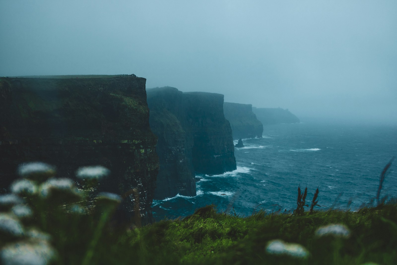
  • 09Cliffs of Moher — 214 metres straight down into the Atlantic
  • 10The Burren limestone plateau and Ballyvaughan sweepers
  • 11Connemara — Sky Road, Killary Fjord and the Twelve Bens
  • 12Achill Island's Atlantic Drive and Keem Bay descent
  • 13Downpatrick Head sea stack and the Céide Fields
  • 14Erris Head, Blacksod, and the empty peninsulas of North Mayo
  • 15Streedagh Beach and the Spanish Armada coast (Sligo)
  • 16Slieve League — sea cliffs almost twice the height of Moher
  • 17Glengesh Pass and the Bluestack Mountains of south-west Donegal
  • 18Fanad Head lighthouse and the drop to Ballymastocker Bay
  • 19Inishowen 100 — Malin Head, Ireland's most northerly point
  • 20Gaeltacht (Irish-speaking) regions of Kerry, Connemara & Donegal
  • 21Nine peninsulas, hundreds of hidden coves, and single-track lanes with almost no traffic outside peak season
Cafés & Stops
  • Hatch Coffee
    Sneem, Co. Kerry

    Serious espresso in the mountains — the local rider hangout.

  • The Blueberry Tearoom
    Donegal Town

    Home-baked scones and a wood stove for wet mornings.

  • Misunderstood Heron
    Killary Fjord, Co. Galway

    Food truck perched over Ireland's only fjord.

Ride Safe
  • Fuel stops can be 60+ km apart on the northern peninsulas — top up whenever you can.
  • Sheep on the road are not a cliche. Ride the outside of blind bends.
  • Atlantic weather flips fast. Waterproofs and thermal layers, always.
Recommended Stops

Pulled from the real GPX.

54 waypoints · marked on map above
0/54
stops ridden
0%
Tap a stop below to mark it ridden. Saved on this device — no login needed.
Kinsale
Town
The official southern gateway of the Wild Atlantic Way — 17th-century harbour town, star-shaped Charles Fort and the finest seafood on the south coast. Kill the ignition, drop the panniers, and start slow.
Old Head of Kinsale
Scenic Area
A 90-metre limestone promontory jutting into the Atlantic, guarded by a candy-striped lighthouse. The RMS Lusitania was torpedoed just off this headland in 1915.
Timoleague Priory
Scenic Area
Ruined 13th-century Franciscan friary sitting on a tidal estuary. Photographers stop here at dusk; riders come for the R600 sweepers into town.
Clonakilty
Town
The Michael Collins homeland — statues in the square, blaas in the bakery, and De Barra's folk club for the evening. A natural end to Day 1 out of Kinsale.
Skibbereen
Town
Market town and unofficial capital of West Cork. The Heritage Centre tells the harrowing local story of the Great Famine.
Baltimore & The Beacon
Scenic Area
Fishing village at the mouth of Roaringwater Bay. A short walk from the pier leads to the whitewashed Baltimore Beacon and a view over Sherkin and Cape Clear.
Mizen Head Signal Station
Scenic Area
Ireland's most south-westerly point. Cross the arched footbridge over a 45-metre Atlantic gorge to reach the old signal station. The waves feel closer here than anywhere on the WAW.
Sheep's Head Peninsula
Scenic Area
The quietest peninsula on the west coast — 40 km of single-track lanes hemmed in by fuchsia and heather, with a lighthouse at the far end and almost zero coach traffic.
Bantry House & Gardens
Scenic Area
18th-century mansion overlooking Bantry Bay, terraces climbing the hill behind. Worth an hour off the bike for the view alone.
Glengarriff
Town
The gateway to the Beara Peninsula and Garnish Island. Fuel up here — the Beara has few options once you commit.
Healy Pass
Scenic Area
334-metre pass over the Caha Mountains, hairpins on both sides, a small chapel at the summit. On a good day the road up feels like Alpine engineering dropped into Kerry.
Allihies & the Copper Coast
Scenic Area
Old copper-mining village at the far tip of Beara. Whitewashed cottages, a black sand beach, and the smell of the Atlantic straight off the water.
Kenmare
Town
A stone-cut heritage town at the head of the Kenmare River. Two rings converge here (Kerry and Beara) — coffee at the square, then decide which one first.
Moll's Gap
Scenic Area
The high pass on the Ring of Kerry between Kenmare and Killarney, with views across the Black Valley to the Reeks. Avoca café at the top for hot chocolate.
Sneem
Town
Two village squares split by a river, brightly painted houses, and a rider-friendly café (Hatch Coffee) that does the best espresso between Cork and Galway.
Waterville
Town
Charlie Chaplin holidayed here for a decade — there's a bronze of him on the seafront to prove it. Beach on one side, mountains on the other.
Skellig Ring / Ballinskelligs
Scenic Area
The narrow detour off the Ring of Kerry that most tour buses can't fit down. On a clear day, Skellig Michael rises out of the Atlantic like a broken tooth.
Valentia Island
Scenic Area
Reachable by short bridge from Portmagee. Tetrapod footprints from 385 million years ago, a slate quarry grotto, and the wildest single-track roads on the peninsula.
Cahersiveen
Town
The old harbour town on the Ring of Kerry, birthplace of Daniel O'Connell. Good bakery, good fuel, and the ruins of Ballycarbery Castle just west of town.
Dingle Town
Town
Pubs that double as hardware shops, Fungie's harbour, and the best fresh fish and Guinness within a hundred miles. Overnight here at least once.
Slea Head
Scenic Area
The far tip of the Dingle Peninsula. Beehive huts, sheer cliffs, the Blasket Islands lying like sleeping whales offshore. The road is one-way clockwise for a reason — the drops are real.
Conor Pass
Scenic Area
Ireland's highest paved mountain pass at 456 m. Single-track, no barriers, glacial lakes below. Ride it in the morning before the campervans catch up.
Tralee
Town
The largest town in Kerry and the pivot point where the WAW turns north for Clare. A good rest stop before the Shannon crossing at Tarbert.
Loop Head Lighthouse
Scenic Area
The far western tip of Clare. Sheer cliffs, a working lighthouse open in summer, and views back across the mouth of the Shannon to Kerry.
Kilkee
Town
A horseshoe-bay Victorian seaside town with a rider-friendly promenade. Great fish and chips at the Diamond Rocks Café on the cliff walk.
Cliffs of Moher
Scenic Area
214 metres straight down into the Atlantic. Get here before 9 a.m. or after 6 p.m. to beat the tour buses. Ride slow — the coach traffic on the R478 is real.
Doolin
Restaurant / Bar
The trad-music capital of the west coast. Gus O'Connor's, McDermott's, McGann's — pick a pub, order a Guinness, wait for the fiddles to start. Ferries to the Aran Islands from the pier.
Ballyvaughan & The Burren
Scenic Area
The village at the northern edge of the Burren limestone karst. Poulnabrone Dolmen is 15 minutes south — a 6,000-year-old portal tomb standing on bare rock.
Black Head Lighthouse
Scenic Area
The N67 coast road bends around Black Head with the limestone plateau on one shoulder and Galway Bay on the other. One of the great motorcycling corners in Ireland.
Galway City
Town
Ireland's cultural capital. Base yourself in the Latin Quarter, walk the Salthill promenade, catch a session at Tigh Neachtain. The WAW's mid-point city.
Spiddal (An Spidéal)
Town
The first Gaeltacht village heading west out of Galway. Signage flips to Irish here. Stan's Bar for a proper trad session.
Clifden
Town
The unofficial capital of Connemara, tucked under the Twelve Bens. Start the Sky Road loop here — 15 km of coastal drama with almost no traffic.
Sky Road
Scenic Area
The famous cliff loop out of Clifden. The upper road climbs to a viewpoint over the ruined Clifden Castle and out across Streamstown Bay to the open Atlantic.
Kylemore Abbey
Scenic Area
Neo-gothic castle-turned-Benedictine-abbey mirrored in Pollacapall Lough. The postcard shot of Connemara — but the walled Victorian garden behind is the real prize.
Killary Fjord (Leenane)
Scenic Area
Ireland's only true fjord — a 16 km glacial inlet with mountains on both sides. The Misunderstood Heron food truck parks on the south shore for lunch.
Louisburgh
Town
The base for the Doolough Valley run — a 15 km ride between vertical mountains and a chain of black lakes. Silent even in July.
Keem Bay, Achill Island
Scenic Area
A crescent of golden sand at the end of a switchback road that clings to a 200-metre cliff face. Blue Flag beach, sheer drop, no railings. Ride it in the dry.
Achill Atlantic Drive
Scenic Area
The south-facing coastal loop off the R319 — Cliffs of Menawn, the Deserted Village at Slievemore, and the road under Croaghaun (Europe's third-highest sea cliffs).
Belmullet & Erris
Town
The most remote peninsula on the west coast. Two harbours, one on each side of the town. From here you can loop Blacksod and Ballycroy on empty single-track.
Downpatrick Head
Scenic Area
A 50-metre sea stack (Dun Briste) sitting a hundred metres offshore, sheared off the cliff by a storm in 1393. Puffins nest here in summer. Utterly cinematic.
Céide Fields
Scenic Area
The oldest known Stone Age field system in the world, preserved under blanket bog for 5,700 years. Pyramid-shaped visitor centre, then out onto the cliffs behind.
Enniscrone
Town
A five-kilometre curve of Blue Flag beach on Killala Bay. Kilcullen's seaweed baths on the seafront — the perfect antidote to a day in the saddle.
Strandhill
Town
Surf town under the flat top of Knocknarea. Voya seaweed baths, Shells Café, and Queen Maeve's cairn on the summit if you fancy a hike.
Sligo Town
Town
Yeats country — the poet is buried at Drumcliffe under Ben Bulben. The town itself is compact, walkable, and full of good pubs (Hargadon's, Shoot the Crows).
Mullaghmore Head
Scenic Area
The winter big-wave surf capital of Europe. On a swell day the sets break at 20+ metres — a tow-in spectacle to watch from the safety of the road above.
Donegal Town
Town
The Diamond square with its four-armed obelisk, the 15th-century Donegal Castle, and the estuary walks. The Blueberry Tearoom does the best scone in the county.
Killybegs Harbour
Town
Ireland's largest fishing port. The pier is worth ten minutes for the boats alone — trawlers, mackerel, gulls, diesel. Old-Ireland working atmosphere.
Slieve League Cliffs
Scenic Area
601 metres straight down — almost twice the height of the Cliffs of Moher. Ride to the Bunglass car park and walk the last 200 metres for the full drop. Go on a still day.
Glengesh Pass
Scenic Area
A hairpin descent into a horseshoe green valley south of Ardara. One of the most photographed motorcycling roads in Donegal for a reason.
Ardara
Town
Donegal tweed country. Nancy's Bar on the main street is a labyrinth of tiny rooms and the best chowder in the county.
Bloody Foreland
Scenic Area
Named for the way the granite rocks glow blood-red at sunset. Facing directly out into the North Atlantic — the last land between here and Labrador.
Downings / Rosguill Loop
Scenic Area
A 15 km loop of the Rosguill Peninsula — Tra na Rossan beach on one side, sheer cliffs at Melmore Head on the other. Ends at the Harry Blaney Bridge across Mulroy Bay.
Fanad Head Lighthouse
Scenic Area
The most photographed lighthouse in Ireland. Perched on the last rock of the Fanad Peninsula between Lough Swilly and Mulroy Bay. Ballymastocker Bay beach on the way in.
Malin Head — Banba's Crown
Scenic Area
Ireland's northernmost point and the end of the Wild Atlantic Way. Napoleonic signal tower on the hill, giant EIRE 80 stones on the ground, and nothing but ocean north from here to the pole. You made it.
Field Notes

From the road.

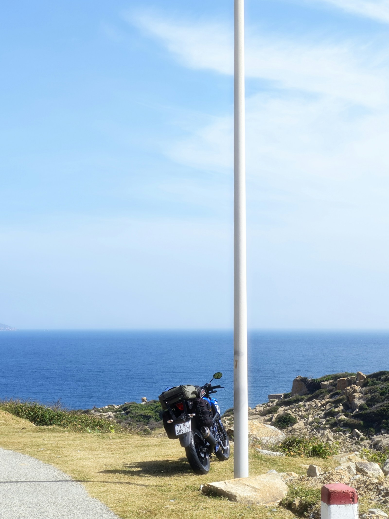
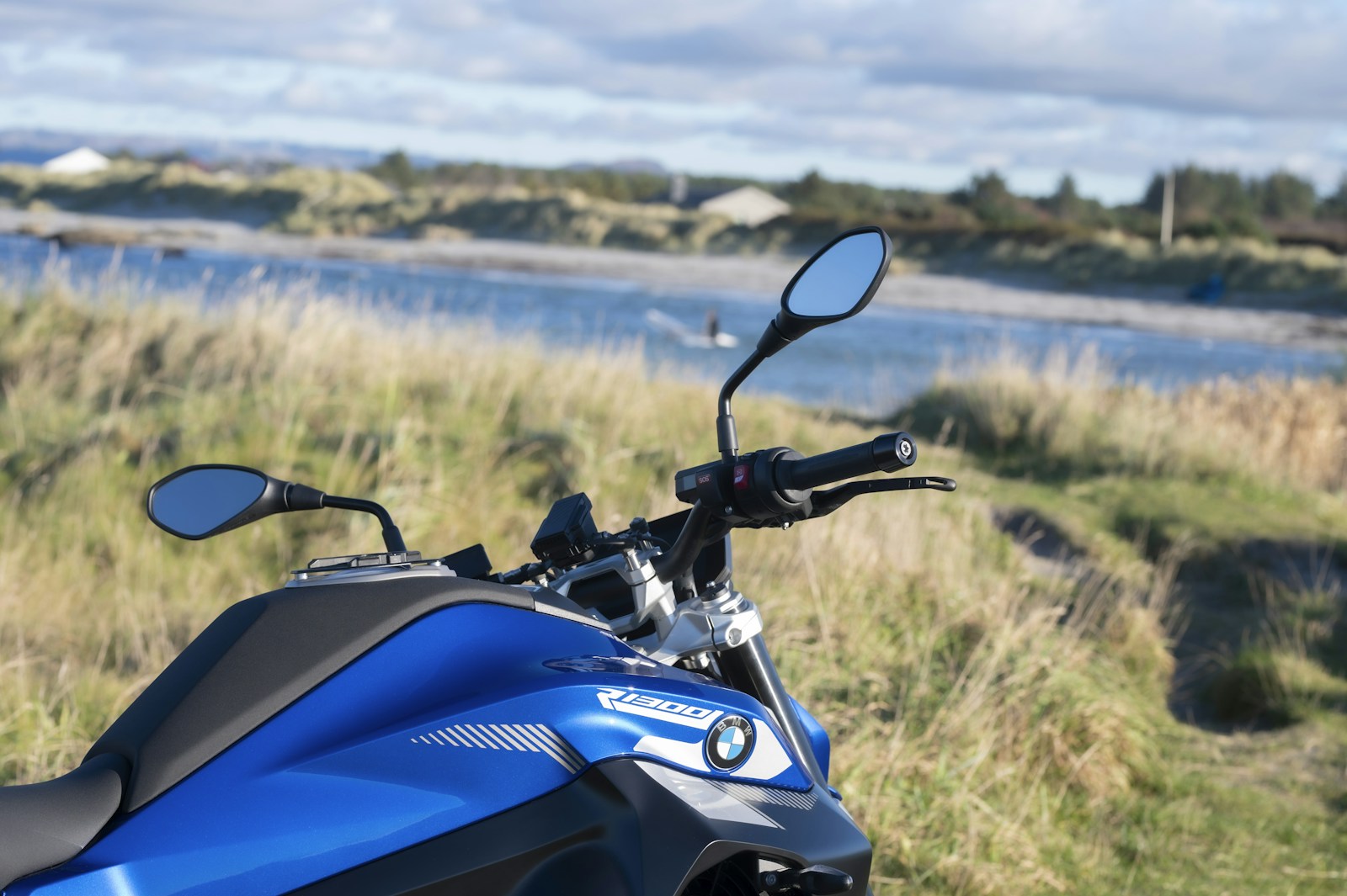
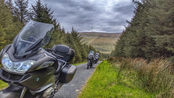
Wild Atlantic Way — The Signature 1
Wild Atlantic Way — The Signature 2
Wild Atlantic Way — The Signature 3

Take it with you.

Download the GPX and load it into your navigation.

Download wild-atlantic-way-signature.gpx
Logo
Motorcycleroutes
Ireland

A curated field guide to Ireland's greatest motorcycle roads — peninsula loops, mountain passes and the full Wild Atlantic Way. Built by riders, for riders.

© 2026 MotorcycleRoutesIreland.com — Ride with respect.
Kinsale · Malin Head · Everything in between