Wild Atlantic Way — Donegal
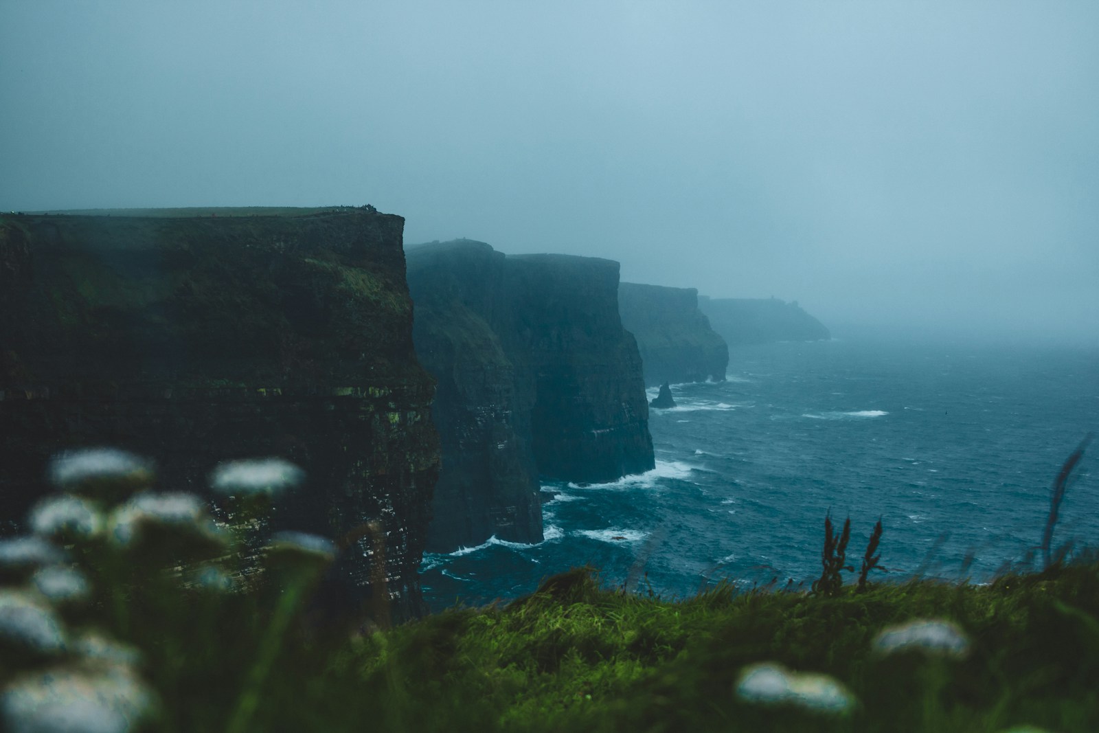
The full Donegal segment of the Wild Atlantic Way — Slieve League cliffs, the Gaeltacht coast of Gaoth Dobhair, Fanad Head lighthouse and the run out to Malin.
On the map.
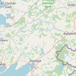
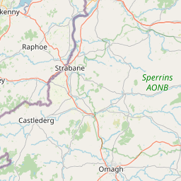
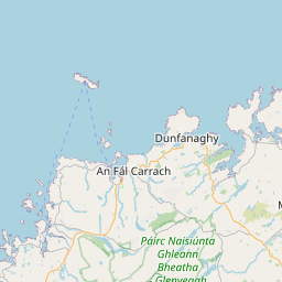
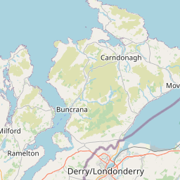
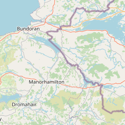
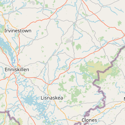
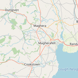
The vertical picture.
What the road feels like.
If Kerry is Ireland's touring capital, Donegal is its untamed north-western wilderness. This is the full Donegal ribbon of the Wild Atlantic Way — a real rider-curated GPX track with points of interest baked in, running from the Sligo border all the way up around the peninsulas to Inishowen.
The scale is what surprises everyone. Slieve League's sea cliffs are twice the height of the Cliffs of Moher and see a fraction of the visitors. The Gaeltacht coast around Gaoth Dobhair speaks Irish first, English second. Fanad Head lighthouse sits at the end of a peninsula road that would be a national landmark anywhere else in Europe.
Give it three days. Sleep in Ardara, Dunfanaghy and Malin. Ride slowly. Donegal doesn't reward a fast pace.
- 01Slieve League sea cliffs (601 m)
- 02Glengesh Pass hairpins
- 03Gaeltacht coast around Gaoth Dobhair
- 04Fanad Head lighthouse peninsula
- 05Malin Head — Ireland's northernmost point
- Nancy's BarnBallyliffin
World-champion seafood chowder.
- The CoveDunfanaghy
Coffee and scones on the way out to Horn Head.
- Fuel stops are sparse north of Ardara — top up when you can.
- Sea spray on the tarmac at Malin Head and Fanad in high winds.
- R-roads on the peninsulas narrow to single-track. Ride to the sightline.
Pulled from the real GPX.
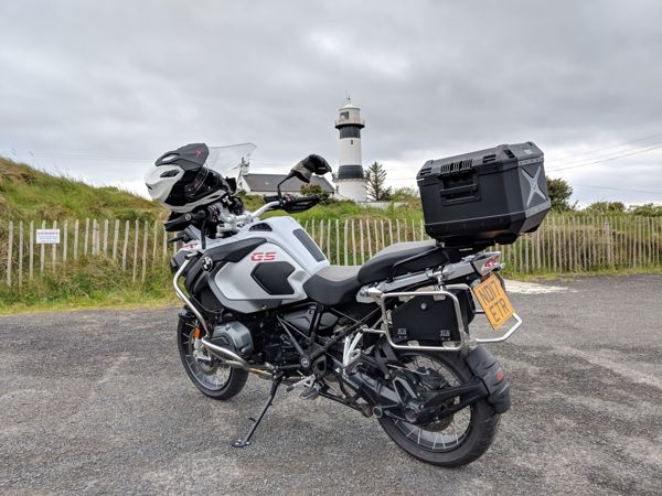
From the road.