
Slea Head Drive
A 47 km loop out of Dingle around the westernmost tip of Europe — beehive huts, Blasket views, and a Guinness at the end.


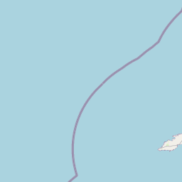
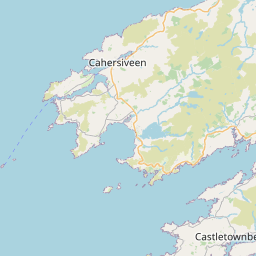

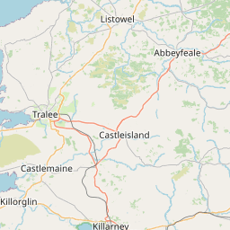


What the road feels like.
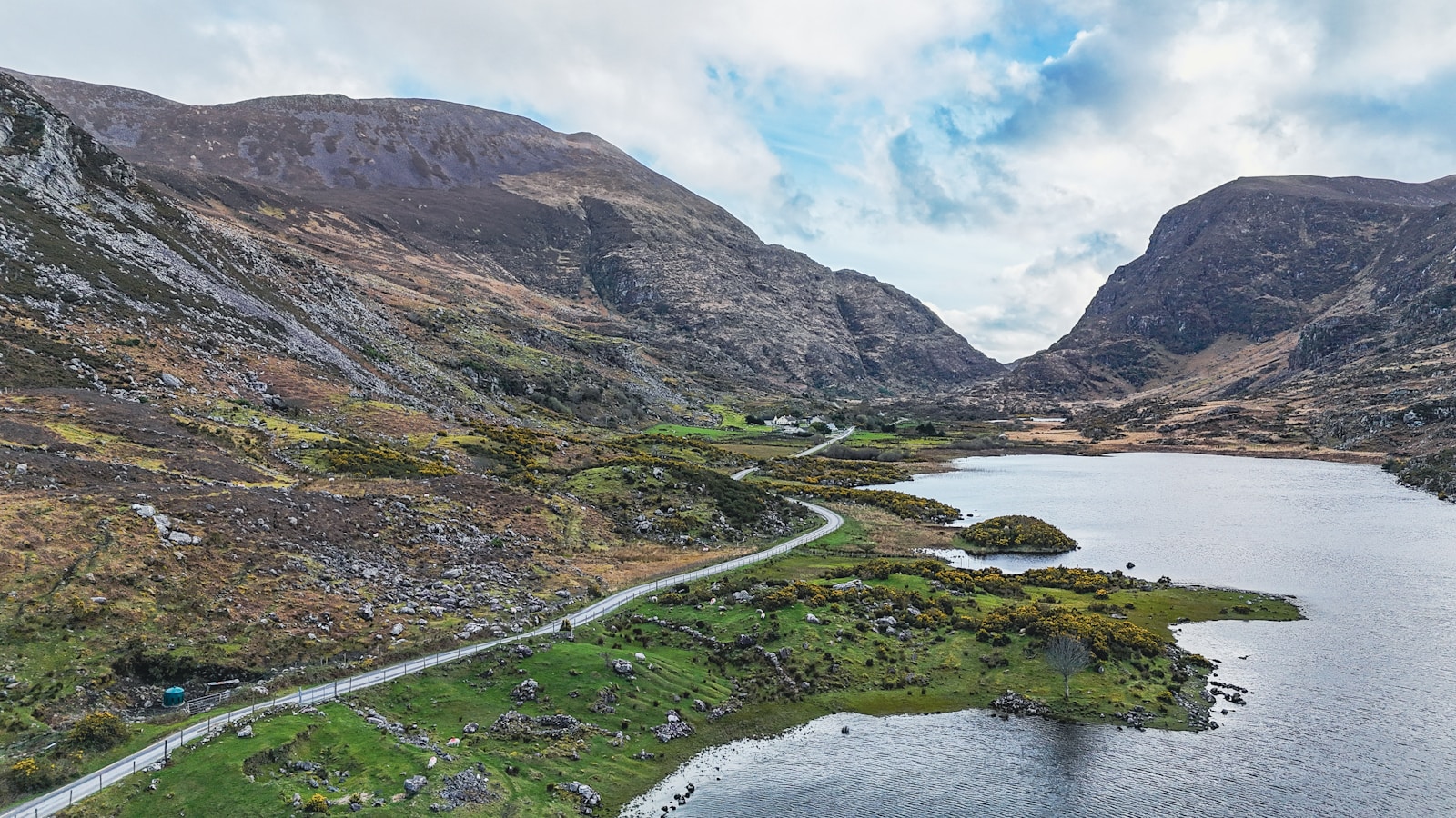
Small road, big feeling. The Slea Head Drive starts and ends in Dingle town and takes maybe two hours if you never stop, half a day if you have any sense at all. It rounds a peninsula that has been continuously inhabited for six thousand years — you'll pass early Christian oratories, Iron Age forts and beehive huts that were old before the pyramids.
Ride clockwise. That's the arrow on the signs. The road is single-track in places and tour buses take up all of it. From Ventry the tarmac climbs and starts flirting with the cliff edge, then the Blasket Islands appear offshore — three humps of green in the Atlantic that were abandoned in 1953 and still haven't quite let go.
- 01Dunbeg Fort and the Fahan beehive huts
- 02Slea Head crucifix viewpoint
- 03Coumeenoole beach
- 04Blasket Islands view from Dunquin pier
- 05Gallarus Oratory (small detour)
- Bean in DingleDingle
Excellent flat white before you set off.
- Kruger's BarDunquin
Westernmost pub in Europe. Enough said.
- Ride clockwise — the official direction.
- Very narrow between Slea Head and Dunquin. Use passing places.
- Fine sand on some coastal corners after storms.
From the road.