
Sally Gap & The Wicklow Military Road
Dublin's back-garden mountain road — built to hunt rebels in 1800, ridden today because there is nothing else like it within an hour of the capital.
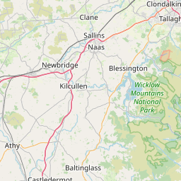
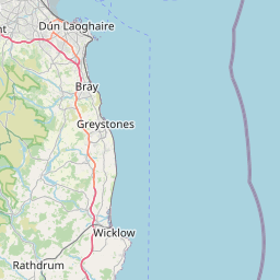
On the map.
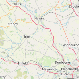
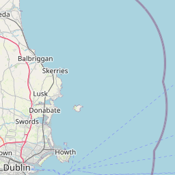
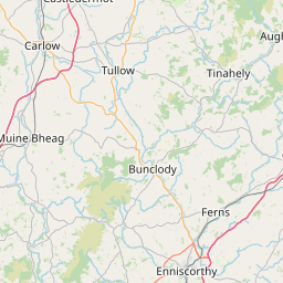
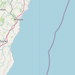




The vertical picture.
What the road feels like.
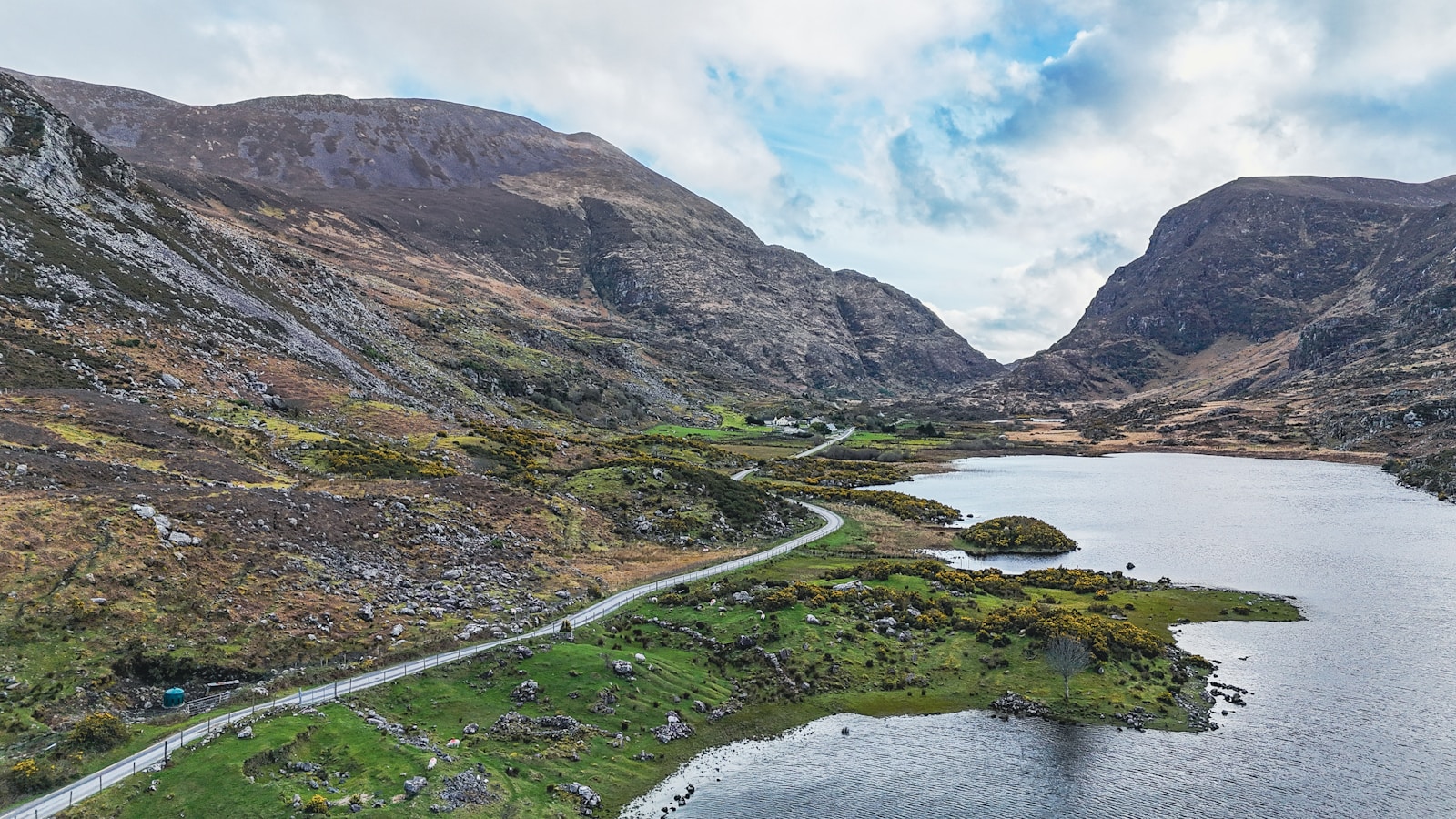
You can leave Dublin's south suburbs at ten and be on the roof of Wicklow by half past. The Military Road climbs out of Rathfarnham, crests the Featherbeds, and drops through the wildest bogland in eastern Ireland. Sally Gap is the crossroads at the top — 503 metres of exposed blanket bog.
From Sally Gap turn south past Lough Tay (yes, the black lake from Vikings), drop into Glendalough for the monastic ruins, then loop back through Laragh and Roundwood. It's the most compact mountain ride in Ireland and one of the few you can do before lunch.
- 01Sally Gap crossroads at 503 m
- 02Lough Tay — the 'Guinness Lake' — viewpoint
- 03Glendalough monastic site
- 04PS I Love You bridge at Sally Gap
- The Wicklow HeatherLaragh
Full Irish and a bike-friendly car park.
- Roundwood InnRoundwood
Pub grub, open fire, ride back to Dublin after.
- Mist and low cloud can arrive in minutes on the Featherbeds.
- Ice possible on the tops as late as May.
- Blind crests on the Military Road — never overtake into one.
Pulled from the real GPX.
From the road.