Wild Atlantic Way — Kerry
All Routes
PeninsulaIntermediateKerry● Real GPX Track

Wild Atlantic Way — Kerry

The classic Iveragh Peninsula loop — MacGillycuddy's Reeks on your inside shoulder, the Atlantic on your outside mirror.

Distance
432km
Ride Time
6hours
Difficulty
Intermediate
Region
Kerry
GPX File
Road type: N70 national secondary, some narrow coastal detours
The Route

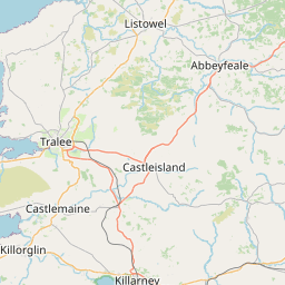
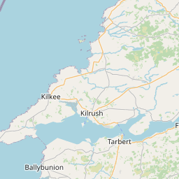
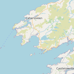
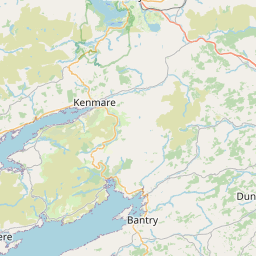
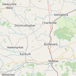
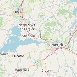
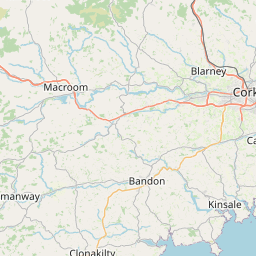
On the map.

Leaflet © OpenStreetMap contributors
Elevation

The vertical picture.

2,790m
Total climb
400m
Highest point
400m0m0 km432 km
The Ride

What the road feels like.

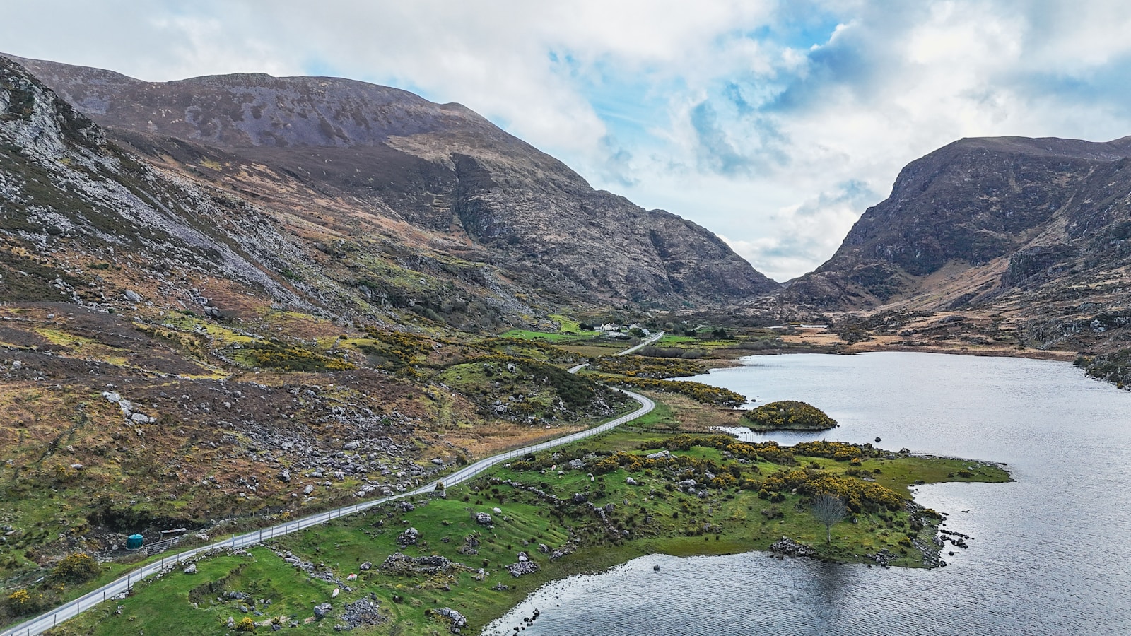
Everyone thinks they've seen the Ring of Kerry. They've seen it from a tour bus. They haven't seen it at half seven in the morning when the mist is still lifting off the lakes at Ladies View and there isn't another vehicle from Molls Gap to Sneem.

Ride it anticlockwise from Killarney — against the coach traffic. The road drops through the Black Valley, climbs Molls Gap, then unfurls along the Kenmare River. By Waterville the Atlantic has taken over completely and stays with you all the way past Cahersiveen and back through Killorglin.

The trick is the detours. Peel off onto the Skellig Ring. Cross the Portmagee bridge to Valentia. Take the mountain road over Ballaghisheen Pass instead of coming home the coast way. Turn a six-hour loop into a two-day pilgrimage.

Highlights
  • 01Molls Gap and Ladies View overlooks
  • 02The Skellig Ring diversion (motorcycle-friendly, coach-free)
  • 03Valentia Island via the Portmagee bridge
  • 04Ballaghisheen Pass mountain crossing
  • 05Killorglin at Puck Fair time (August) if you love a party
Cafés & Stops
  • Jam
    Kenmare

    Best sausage roll on the peninsula. Bike parking on Henry Street.

  • The Bridge Bar
    Portmagee

    Chowder, a pint of the black, view of the Skelligs.

  • Quinlan's Seafood
    Cahersiveen

    Fish and chips done properly.

Ride Safe
  • Ride anticlockwise (against coach direction) to avoid tour buses.
  • The road narrows dramatically past Sneem — expect oncoming traffic in your lane.
  • Fuel at Killarney or Kenmare. Options on the west side are limited.
Recommended Stops

Pulled from the real GPX.

21 waypoints · marked on map above
0/21
stops ridden
0%
Tap a stop below to mark it ridden. Saved on this device — no login needed.
Shannon Ferry Ltd
Scenic Area
Shannon Ferry Ltd Tarbert Island Tarbert Island, CO KERRY, IRL 0659053124
Corcas and Sandhills
Scenic Area
Doon West
Scenic Area
Dreenagh1
Scenic Area
Fenit Beach
Scenic Area
Fenit Beach Fenit, CO KERRY, IRL
Stradbally Beach
Scenic Area
This beach, the longest in Ireland, stretches for 19km around the wonderful Brandon Bay. Several paths lead down to the beach from the road to Fahamore on the headland of Castlegregory. Offshore at the north end of the Strand lie the Magharee Islands, also known as The Seven Hogs. At low tide it is possible to walk from Illauntannig, the largest island on which there is an early Christian monastery, to Reennafardarrig Island.
Murirrigane
Scenic Area
Ballycanneen
Scenic Area
FeohanaghandKilcooly
Scenic Area
Feohanagh
Scenic Area
RoadandArdamore
Scenic Area
Clogher Beach1
Scenic Area
Slea Head
Scenic Area
R559 The steep slopes of Mount Eagle (516m) evoke a pre-Christian, indeed prehistoric, landscape that reamins largely unspoilt. Dry stone walls create a mosaic patchwork of little fields in which stand over 400 clocháin (hive-shaped huts), some within round forts including that of Cathair nag Conchúireach (private) where the method of construction is evident. Continue to Dunmore Head, from where the spectacular view takes in the jagged cliffs, the Blasket channel and its islands.
R559andBallymore West
Scenic Area
The Wood
Scenic Area
The Anvil Bar B&B
Scenic Area
Rossbeigh Beach
Scenic Area
Rossbeigh Beach Rossbehy Rossbehy, CO KERRY, IRL
Dohilla1
Scenic Area
Bolus
Scenic Area
Derrynane Hotel
Scenic Area
Derrynane Hotel
Topaz
Scenic Area
Topaz N71 Kenmare, CO KERRY, IRL
Field Notes

From the road.

Wild Atlantic Way — Kerry 1
Wild Atlantic Way — Kerry 2
Wild Atlantic Way — Kerry 3

Take it with you.

Download the GPX and load it into your navigation.

Download ring-of-kerry.gpx
Logo
Motorcycleroutes
Ireland

A curated field guide to Ireland's greatest motorcycle roads — peninsula loops, mountain passes and the full Wild Atlantic Way. Built by riders, for riders.

© 2026 MotorcycleRoutesIreland.com — Ride with respect.
Kinsale · Malin Head · Everything in between