

All Routes
PeninsulaBeginnerWest Cork
Mizen Head Peninsula
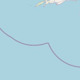
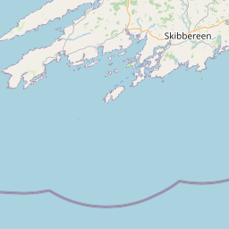
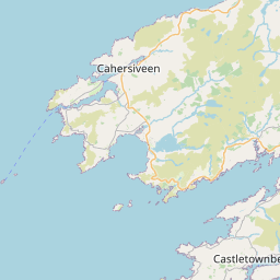
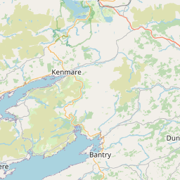
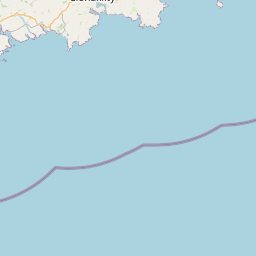
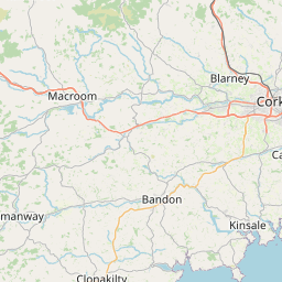
Bantry out to the southwesternmost point of Ireland — signal station, suspension bridge, and the Fastnet Rock on the horizon.
Road type: R591 coastal peninsula






The Ride
What the road feels like.
The Mizen is Kerry's quieter cousin — a west-Cork peninsula that runs out into the Atlantic between Bantry Bay and Roaringwater Bay. The road is easy, the villages are small, and the reward at the end is the Mizen Head Signal Station clinging to a cliff over a 100-metre drop.
Combine it with the Sheep's Head Way for a full day of west-Cork peninsula-hopping. Coffee in Schull, a swim at Barleycove if the sun is out, dinner in Baltimore on the way home.
Highlights
- 01Mizen Head signal station and suspension footbridge
- 02Barleycove beach
- 03Fastnet Rock viewpoint
- 04Schull harbour village
Cafés & Stops
- Hackett'sSchull
Sourdough sandwiches and strong coffee.
- Barnabrow Country HouseBallylickey
Garden lunch, good scenic diversion.
Ride Safe
- Narrow, wet lanes past Goleen. Ride at a peninsula pace.
- Ferry crossings around Mizen add time — plan accordingly.
Field Notes
From the road.
Take it with you.
Download the GPX and load it into your navigation.
Download mizen-head-peninsula.gpx