
All Routes
CoastalIntermediateDonegal● Real GPX Track
Inishowen 100
The northernmost loop in Ireland — Malin Head, hidden beaches, and the last road before the Atlantic swallows the map.
Road type: R238 / R240 peninsula loop
The Route
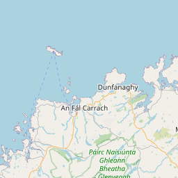
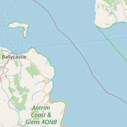
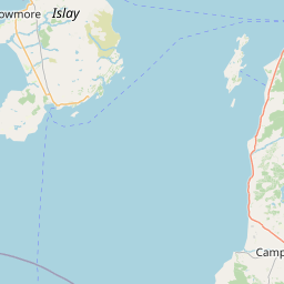
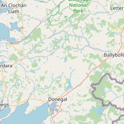
On the map.
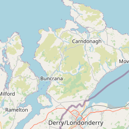
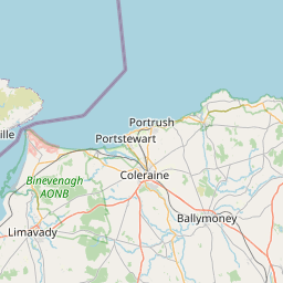

START
FINISH
Leaflet © OpenStreetMap contributors
Elevation
The vertical picture.
2,447m
Total climb
300m
Highest point
The Ride
What the road feels like.
The Inishowen Peninsula sits at the top of Donegal like a raised fist. The '100' in the name refers to the original mileage of the signed loop, though you'll add plenty with the detours you can't help taking. Start in Buncrana on Lough Swilly and ride clockwise.
Malin Head is the headline — the most northerly point on the island of Ireland — but the quiet stretches between Culdaff and Kinnagoe Bay are where the peninsula shows its real face. Empty roads, empty beaches, the North Atlantic doing its worst.
Highlights
- 01Malin Head — Ireland's northernmost point
- 02Kinnagoe Bay hidden beach
- 03Grianán of Aileach ring fort
- 04Five Fingers Strand
Cafés & Stops
- Caife Cois CuainMalin Head
Coffee at the top of Ireland.
- Nancy's BarnBallyliffin
World-champion seafood chowder.
Ride Safe
- Fuel in Buncrana or Carndonagh. Options thin out further north.
- Border-area speed signs switch between km/h (ROI) and mph (NI). Watch carefully.
- Sea spray on the road at Malin Head in high winds.
Recommended Stops
Pulled from the real GPX.
8 waypoints · marked on map above
0/8
stops ridden
0%
Tap a stop below to mark it ridden. Saved on this device — no login needed.
Fort Dunree
Scenic Area
Historic coastal defence with museum, cafe and clifftop views over Lough Swilly.
Grianán of Aileach
Scenic Area
Iron Age ring fort on a hilltop with 360° views of five counties.
Ballyliffin — Nancy's Barn
Restaurant
World-champion seafood chowder. Motorcycle-friendly parking.
Malin Head — Banba's Crown
Scenic Area
Ireland's northernmost point. Signal tower, 'EIRE 80' WWII marking, and the Atlantic beyond.
Five Fingers Strand
Park
Wild dune-backed beach on the wildest edge of the peninsula.
Culdaff Beach
Park
Golden Blue Flag beach with a good pub (McGrory's) at the top of the road.
Kinnagoe Bay
Park
Hidden crescent beach reached by a steep descent — one of the peninsula's best kept secrets.
Buncrana — Lough Swilly
City
Peninsula gateway. Fuel, coffee, and the classic start/finish for the Inishowen 100.
Field Notes
From the road.